- cross-posted to:
- privacy@lemmy.ml
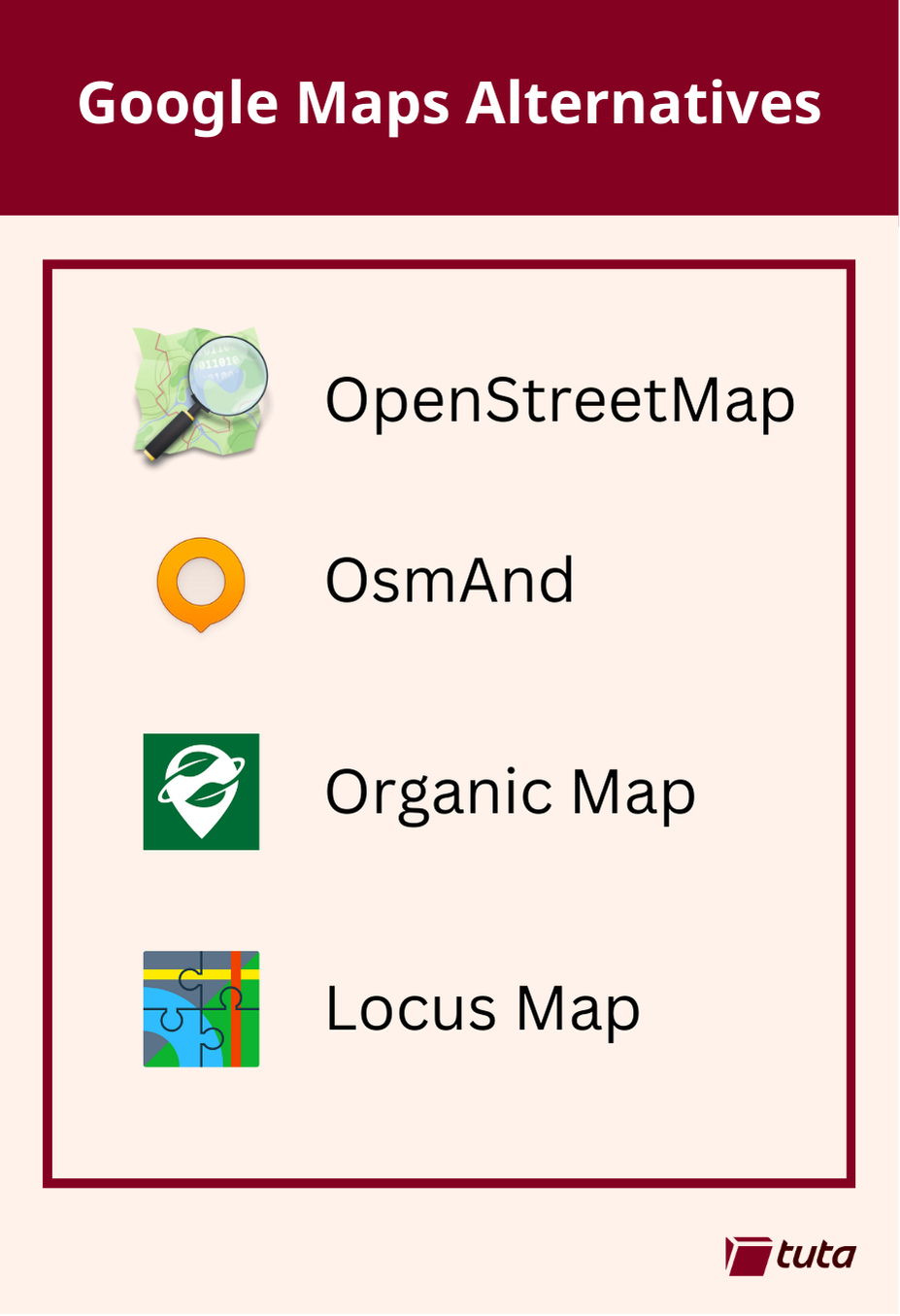
repeated media reports of Google’s disregard for the privacy of the general public led to a push for open source, community driven alternatives to Google Maps. The biggest contender, now used by Google’s direct competitors and open source projects alike is OpenStreetMap.
OsmAnd is a fantastic choice when searching for an alternative to Google Maps. It is available on both Android and iOS devices with both free and paid subscription options. Free accounts have full access to maps and navigation features, but choosing a paid subscription will allow you unlimited map downloads and increases the frequency of updates.
All subscriptions can take advantage of turn-by-turn navigation, route planning, map markers, and all the favorite features you expect from a map and navigation app in 2024. By making the jump to a paid subscription you get some extra features like topo maps, nautical depths, and even point-of-interest data imported from Wikipedia.
Organic Maps is a great choice primarily because they offer support for all features of their iOS and Android apps completely offline. This means if you have an old phone laying around, you can install the app, download the maps you need and presto! You now have an indepth digital map in the palm of your hand without needing to worry about losing or damaging your primary mobile device when exploring the outdoors.
Organic Maps tugs our heartstrings by their commitment to privacy. The app can run entirely without a network connection and comes with no ads, tracking, data collection, and best of all no registration.
Our third, and last recommendation today is Locus Maps. Locus Maps is built by outdoor enthusiasts for the same community. Hiking, biking, and geocaching are all mainstays of the Locus App, alongside standard street map navigation as well.
Locus is available in its complete version for Android, and an early version is available for iOS which is continuing to be worked on. Locus Maps offers navigation, tracking and routes, and also information on points-of-interest you might visit or stumble upon during your adventures.
Here’s the thing. I hate Google’s privacy nightmare. There is no alternative to the Google Maps.
Well, there’s at least three apparently
An alternative would be good enough to replace the original. None of theses so called alternatives are good enough to replace Google maps unfortunately.
this is great but i’d also recommend contributing and editing your local area in openstreetmap.org too.
In trying to find privacy-oriented map software, I found OsmAnd as well as OrganicMaps and shortly thereafter began contributing to openstreetmap. It’s actually quite easy and IMO fun to find discrepancies and use your knowledge to help an open data set.
Not only have I seen my edits show up in proprietary softwares, but the area around me is more accurate, to the point where recent construction to the road network was updated on OSM and Apple Maps, but not Google maps.
I just checked and Google maps is still out of date.
I’ve been very satisfied by OSM map apps (mostly use Organic Maps) but my main issue is the lack of places and that’s why I use Google Maps mostly.
Edit: actually found https://mapcomplete.osm.be/ which aims to kinda do that? though I’m not having much luck with it yet.
What is really frustrating to me is that my county actually has almost all of the data (including outlines and address numbers) publicly available and downloadable. There is a Wikipage on Open Street Maps written in 2020 talking about how that data has been downloaded and prepped and that it will be imported in 2021, but it never was. The wiki page was last updated 3 years ago.
I’m technologically competent enough to add things individually on OSM or StreetComplete, but that import is way above my technical understanding. I would love to donate or maybe even pay someone to finish what was apparently started, but I don’t even know who to contact about it.
I uninstalled OSM fast after it drove me to the second closed location
Just remember that these community efforts are only maintained by the community. If the data is inaccurate then the area needs more help.
As Darth Vader said, you have to be the change you want to see in the world.
Honestly I’d sooner try to fundraise and find a way to hire a person to actually do the job way before I’m going to start taking 5 minutes at every single trip to fill out information. The idea of community made data sets like this is very utopic and nice, but if you ask me it’s asking a lot. After all, everybody can edit Wikipedia to make it a better place too, but everybody knows there’s only a handful of dedicated Wikipedia gurus.
StreetComplete is another good app for adding details to the map, and it lets you select the type of things you want to add 👍
Do any of them have public transport directions?
OsmAnd does locally (NL), can’t say about other countries.
Recommendation for German-speakers who want the best bicycle routing available:
bikerouter.de
It comes with lots and lots of routing profiles.
My favorite for getting somewhere quickly and safely is “Trekking-Tertiaries”, which ignores the horrible German bike-paths and leads you over quiet back streets that aren’t thoroughfares for car traffic.
You can also customize the routing to your heart’s content if you’re into scripting.
The routes can be exported as GPX tracks to use them anywhere you like.
Locus maps seemed interesting to me. I was surprised it was not available on F-droid. I found it on the Aurora store though. Contains ads and 4 trackers (google and facebook). Google play services is a dependency.
I’ll stick with osmand.
Just use Apple Maps. Jeez
Hard to do on an Android phone.
I thought the point was to avoid tracking. If you are on android you already lost that battle.
If you think Apple doesn’t track you, I’ve got a bridge to sell you.
Any proof or just speculation?
https://m.youtube.com/watch?v=r38Epj6ldKU
His sources are in the description.
Any proof or just speculation?
Read their privacy policy.
While it is written in a seemingly pro-consumer manner, if you get down to the basics, there are two main points:
If your goal is privacy/avoid tracking then you should be using GrapheneOS
OsmAnd has the full app on F-Droid.
Locus Map is not FOSS, and OsmAnd works great for hiking, biking, etc, soooo…
Organic Maps tugs our heartstrings by their commitment to privacy. The app can run entirely without a network connection and comes with no ads, tracking, data collection, and best of all no registration.
In my experience this applies to OsmAnd too. Please correct me if I’m mistaken though.
I’m looking for one that works well on Android Automotive. So far I couldn’t get OsmAnd to show the Android Auto UI on the full OS, or integrate with the home page (split screen music / maps), and none of the others I tried in F-droid worked at all. I need something because I’m tired of using my phone, and I don’t have Google services on my tablet (flashed with a custom build of Lineage / Android Automotive OS).
It would be nice to have an open source version of the big screen systems they’re putting in the newest cars…
I, too, want something to replace Google Maps inside Android Auto, which is the main place I use it. I like live re-routes around traffic.
Did you try Organic Maps?
I did, and it didn’t work either. :(
I know of no open source app with live traffic routing. I think Magic Earth should be a closed source option to t least minimize google tracking.
Thanks for the post!
Didn’t realize Apple Maps was received poorly.
I’d never been a fan of apple maps, just because it lags behind real world too much.
I’ve missed a lot of turns because they seem way further on the screen. Especially when using CarPlay.
Been using osmand unfortunatly it doesnt have numbers on streets and can’t plan public transport.
Alternatives to Google Maps aren’t great. The only place where I find Organic Maps better is China, since the authorities have stunted GM there.
For driving in Europe I find TomTom better (whereas both Apple Maps and Google Maps are better in the US), but in terms of POI Google reigns supreme.
The house numbers is due to map data being incomplete. You can help with that by adding data with an app called street complete its free and on playstore. We need more people adding data to osm or it will never get better
Ive been adding with some app i found on fdroid but i feel my efforts are just a very tiny drop in a very very large bucket.
Everything that exists in OpenStreetMap is from tiny drops
If you add your area like I added mine then its definitely helping
There were problems like these ten years ago in Europe, but nowadays it works very well. W
But I really like satellite view.
In OSMAnd you can make a map with aerial tiles from bing. You have to configure the map view yourself but it is doable.
Edit: Enable Online maps plugin. Then enable Microsoft Earth as a base or overlay map.
Quality is more important than features.
They’re often the same thing in a map software.
The biggest drawback is not being able to project on my car’s display. Organic maps is great but man i need the extra display.
I’ve had no problems with Organic Maps and carplay?
Is that a question?
Maybe you are using android or theres some other reason your car doesn’t display it, but if Im remembering correctly, Organic Maps works with carplay.
Android user. Google doesn’t show it as an option. At least not one I’m aware of.
Organic Maps and OsmAnd both have Android Auto support.
I fucking love y’all. I had to add it through the play store. F droid didn’t allow for some reason. Or Google play’s chockhold
Under “Assets” on their Github Release page, they have two APKs listed. One is a web version and the other is a google version.
https://github.com/organicmaps/organicmaps/releases
I did some experimenting and it seems like only the google version has Android Auto.
Yes?